|
|
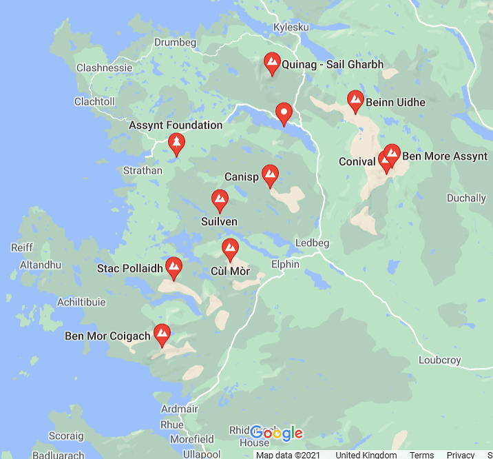
The Shetland Islands The strange structure running north up the centre of the mainland is, I understand, a continuation of the Great Glen Fault which runs from Fort William to Inverness. Shetland is quite mountainous compared to Orkney but you can see how the West Mainland is very low and peppered with dozens of small lochs. |
||
|
|
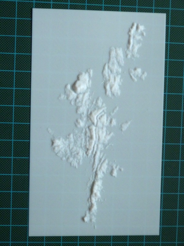
The Orkney Islands This print shows Dunnet Head and Dunnet Bay in the bottom left hand corner all the way to North Ronaldsay in the top right. Hoy is obviously more mountainous than the other islands. Scapa Flow is protected By the Mainland in the north, the Barrier islands to the east and Hoy and Flotta to the west and south. The low nature of the islands to the north is quite striking.
|
||
|
|
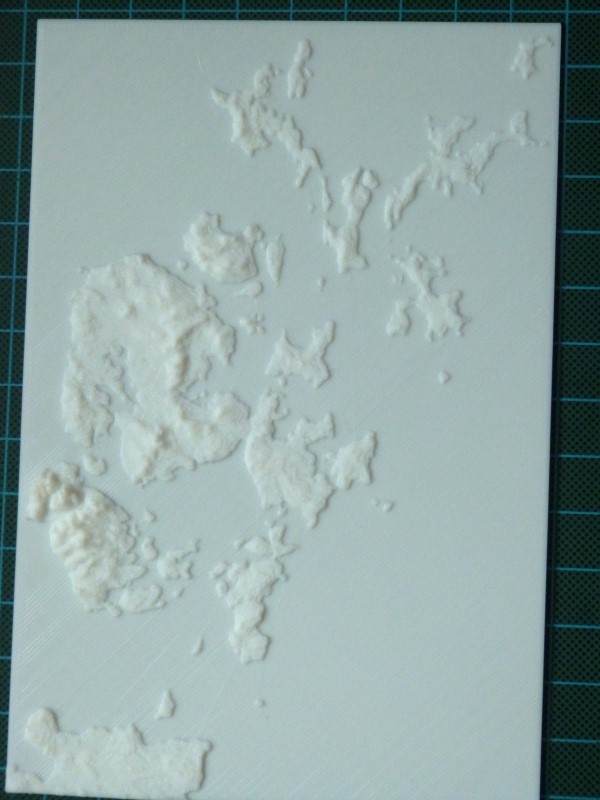
The Isle of Skye In the south, you can see the mountainous Rum with Canna just to its north west. The Scottish mainland in the south goes from Mallaig and the Arisaig peninsula then north to Knoydart. The ruggedness of the Coulins is quite obvious with the less well known mountains in the Totternish peninsula to the north. The long fingerlike island to the east of Skye is Raasay with Rona to its north. The mainland opposite Raasay is the Applecross peninsula and the print ends in the north east corner at Gairloch. |
||
|
|
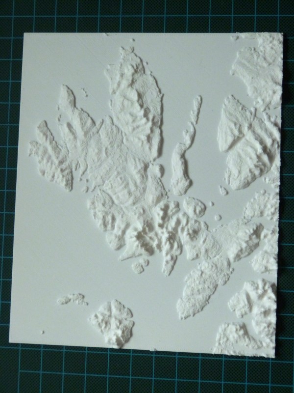
The Dornoch Firth and Easter Ross The striking thing about this print is how little low lying arable land there is in East Sutherland compared to the relatively flat Eater Ross to the south and east of Edderton Hill. The ever changing Dornoch Point is obvious and to its west, the little prominory which was once the north end of the Meikle Ferry, now carries the A9 across the Dornoch Firth. North of the Point are the three bays along which the golf course meanders, reaching almost as far as Embo. The coast runs north to the Little Ferry and Loch Fleet. The area to the south of the A9 between the Mound and Golspie is probably the largest area of flat land until Caithness. The print finishes just to the south of Brora.
|
||
|
|
|
.JPG)
.JPG)